
เม็กซิโก
42187 รหัสไปรษณีย์
รายละเอียดรหัสไปรษณีย์
6 สถานที่รหัส
สถานที่
Amaque
ภูมิภาค
Hidalgo
เขต
Mineral de la Reforma
พิกัด
20.0753, -98.6728
ความแม่นยำ
4 / 6
ประเทศ
เม็กซิโก
ตำแหน่ง
OpenStreetMap ↗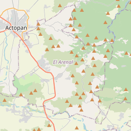
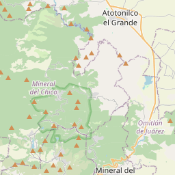
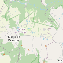
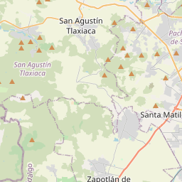
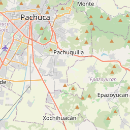
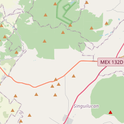
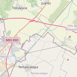
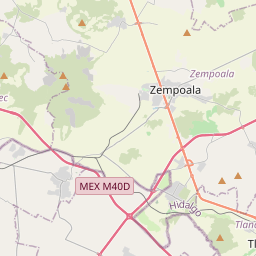
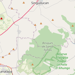
20.0753, -98.6728© OpenStreetMap
สถานที่ภายใต้รหัสนี้
6| สถานที่ | ภูมิภาค | เขต | พิกัด |
|---|---|---|---|
| Amaque | Hidalgo | Mineral de la Reforma | 20.0753, -98.6728 |
| Azoyatla de Ocampo | Hidalgo | Mineral de la Reforma | 20.1065, -98.6855 |
| El Velillo | Hidalgo | Mineral de la Reforma | 20.1238, -98.6766 |
| Hacienda San Lunes | Hidalgo | Mineral de la Reforma | 20.1203, -98.7061 |
| Hacienda Santa Gertrudis | Hidalgo | Mineral de la Reforma | 20.1065, -98.6855 |
| La Pila | Hidalgo | Mineral de la Reforma | 20.1067, -98.6864 |
รหัสเดียวกันในประเทศอื่น
1| ประเทศ | สถานที่ | ภูมิภาค |
|---|---|---|
| KR เกาหลีใต้ | 수성구 | 대구광역시 |
FAQ
42187 อยู่ในเมืองใด?
Amaque, Hidalgo, เม็กซิโก
พิกัดของ 42187 คืออะไร?
20.0753, -98.6728
42187 ถูกใช้ในประเทศอื่นด้วยหรือไม่?
ใช่ ในอีก 1 ประเทศ