
Mexiko
30412 Postleitzahl
PLZ-Details
10 OrtePLZ
Ort
El Balsamar
Region
Chiapas
Kreis
Cintalapa
Koordinaten
16.7129, -93.8674
Genauigkeit
3 / 6
Land
Mexiko
Lage
OpenStreetMap ↗
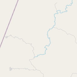
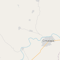
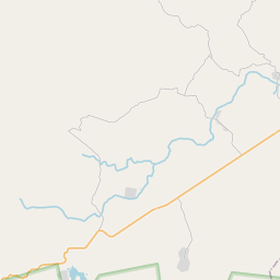
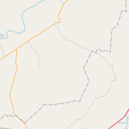
16.7129, -93.8674© OpenStreetMap
Orte unter dieser PLZ
10| Ort | Region | Kreis | Koordinaten |
|---|---|---|---|
| El Balsamar | Chiapas | Cintalapa | 16.7129, -93.8674 |
| El Brasil | Chiapas | Cintalapa | 16.5708, -93.7883 |
| La Gavia | Chiapas | Cintalapa | 16.5856, -93.7886 |
| La Isleta | Chiapas | Cintalapa | 16.6193, -93.7756 |
| Los Limones | Chiapas | Cintalapa | 16.5689, -93.7706 |
| Morelia | Chiapas | Cintalapa | 16.5829, -93.7821 |
| Ojo de Agua | Chiapas | Cintalapa | 16.8471, -93.74 |
| San Ricardo | Chiapas | Cintalapa | 16.5606, -93.7839 |
| Xochimilco | Chiapas | Cintalapa | 16.7129, -93.8674 |
| Zapote Negro | Chiapas | Cintalapa | 16.7129, -93.8674 |
Gleiche PLZ in anderen Ländern
5FAQ
In welcher Stadt liegt 30412?
El Balsamar, Chiapas, Mexiko.
Welche Koordinaten hat 30412?
16.7129, -93.8674
Wird 30412 auch in anderen Ländern verwendet?
Ja, in 5 weiteren Ländern.