
Mexico
97883 post code
Post code details
7 placesCode
Place
Emiliano Zapata
Region
Yucatán
County
Oxkutzcab
Coordinates
20.2261, -89.4681
Accuracy
4 / 6
Country
Mexico
Location
OpenStreetMap ↗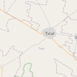
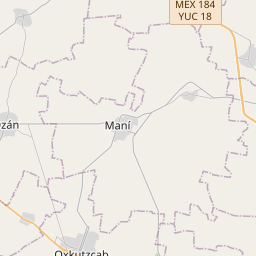

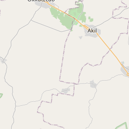
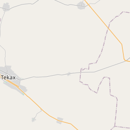

20.2261, -89.4681© OpenStreetMap
Places under this code
7| Place | Region | County | Coordinates |
|---|---|---|---|
| Emiliano Zapata | Yucatán | Oxkutzcab | 20.2261, -89.4681 |
| Lol-Tún | Yucatán | Oxkutzcab | 20.2239, -89.4944 |
| Sayil | Yucatán | Oxkutzcab | 20.1472, -89.5225 |
| U.A. Benito Juárez | Yucatán | Oxkutzcab | 20.2239, -89.4944 |
| U.F. San José | Yucatán | Oxkutzcab | 20.2239, -89.4944 |
| Xohuayan | Yucatán | Oxkutzcab | 20.1881, -89.3832 |
| Yaaxhom | Yucatán | Oxkutzcab | 20.2483, -89.4761 |
Same code in other countries
1| Country | Place | Region |
|---|---|---|
| US United States | Union | Oregon |
FAQ
Which city is 97883 in?
Emiliano Zapata, Yucatán, Mexico.
What are the coordinates of 97883?
20.2261, -89.4681
Is 97883 used in other countries?
Yes, 1 other countries.