
Mexico
73248 post code
Post code details
5 placesCode
Place
El Dorado
Region
Puebla
County
Zihuateutla
Coordinates
20.2991, -97.7982
Accuracy
3 / 6
Country
Mexico
Location
OpenStreetMap ↗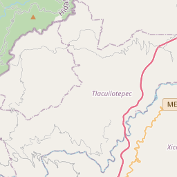
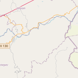
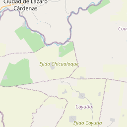
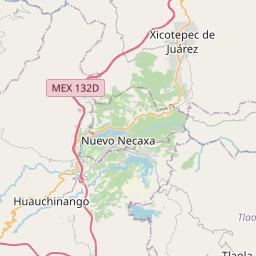
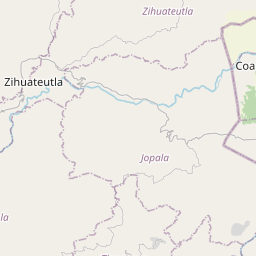
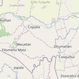

20.2991, -97.7982© OpenStreetMap
Places under this code
5| Place | Region | County | Coordinates |
|---|---|---|---|
| El Dorado | Puebla | Zihuateutla | 20.2991, -97.7982 |
| Loma Bonita | Puebla | Zihuateutla | 20.2805, -97.8307 |
| Los Manguitos | Puebla | Zihuateutla | 20.281, -97.8057 |
| Puebla | Puebla | Zihuateutla | 20.2794, -97.8148 |
| San Nicolás | Puebla | Zihuateutla | 20.2768, -97.8081 |
Same code in other countries
1| Country | Place | Region |
|---|---|---|
| SE Sweden | Arboga | Västmanland |
FAQ
Which city is 73248 in?
El Dorado, Puebla, Mexico.
What are the coordinates of 73248?
20.2991, -97.7982
Is 73248 used in other countries?
Yes, 1 other countries.