50115 postal code
MexicoUpdated 2026-11-09Loma Bonita, MéxicoToluca5 digits
Postal code details
1 placeCode
50115
Place
Loma Bonita
Region
México
County
Toluca
Coordinates
19.2328, -99.6592
Accuracy
4 / 6
Country
Mexico
Location
OpenStreetMap ↗
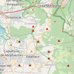

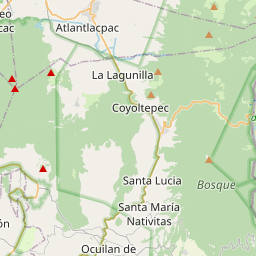
19.2328, -99.6592© OpenStreetMap
Ad slot · 300×250
Places under this code
1| Place | Region | County | Coordinates |
|---|---|---|---|
| Loma Bonita | México | Toluca | 19.2328, -99.6592 |
Same code in other countries
8| Country | Place | Region |
|---|---|---|
| EE Estonia | Tartu | Tartu maakond |
| FR France | Cherbourg-Octeville | Normandie |
| ID Indonesia | Bangetayu Kulon | Provinsi Jawa Tengah |
| KE Kenya | Kakunga | Kakamega |
| KR South Korea | 주상면 | 경상남도 |
| PL Poland | Wrocław | Lower Silesia |
| SE Sweden | Borås | Västra Götaland |
| US United States | Guthrie Center | Iowa |
FAQ
Which city is 50115 in?
Loma Bonita, México, Mexico.
What are the coordinates of 50115?
19.2328, -99.6592
Is 50115 used in other countries?
Yes, 8 other countries.
Updated 2026-11-09. Attribution in Data & license.