
Mexico
43187 post code
Post code details
6 placesCode
Place
Cangui
Region
Hidalgo
County
Tlahuiltepa
Coordinates
20.8197, -99.0624
Accuracy
4 / 6
Country
Mexico
Location
OpenStreetMap ↗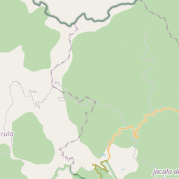
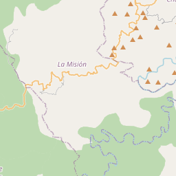
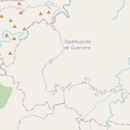
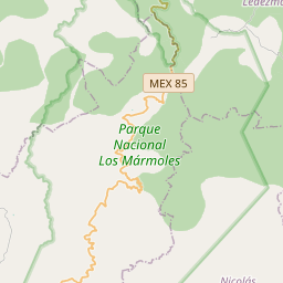
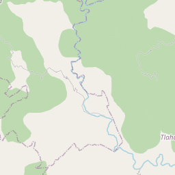
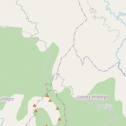
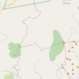
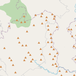
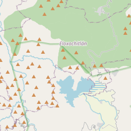
20.8197, -99.0624© OpenStreetMap
Places under this code
6| Place | Region | County | Coordinates |
|---|---|---|---|
| Cangui | Hidalgo | Tlahuiltepa | 20.8197, -99.0624 |
| Chichicaxtla | Hidalgo | Tlahuiltepa | 20.7928, -99.0604 |
| El Roble | Hidalgo | Tlahuiltepa | 20.761, -99.0608 |
| La Loma | Hidalgo | Tlahuiltepa | 20.7889, -99.0599 |
| Las Manzanas | Hidalgo | Tlahuiltepa | 20.769, -99.0656 |
| Xiopa | Hidalgo | Tlahuiltepa | 20.8019, -99.05 |
Same code in other countries
2| Country | Place | Region |
|---|---|---|
| ID Indonesia | Cicukang | Jawa Barat |
| SE Sweden | Mölndal | Västra Götaland |
FAQ
Which city is 43187 in?
Cangui, Hidalgo, Mexico.
What are the coordinates of 43187?
20.8197, -99.0624
Is 43187 used in other countries?
Yes, 2 other countries.