
Mexico
43176 post code
Post code details
9 placesCode
Place
Dominí
Region
Hidalgo
County
Tlahuiltepa
Coordinates
20.9847, -98.9677
Accuracy
4 / 6
Country
Mexico
Location
OpenStreetMap ↗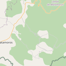
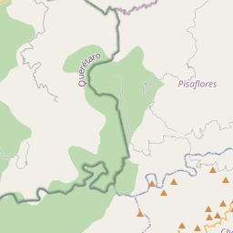
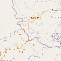
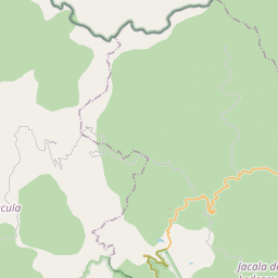
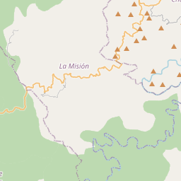
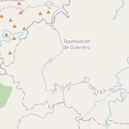
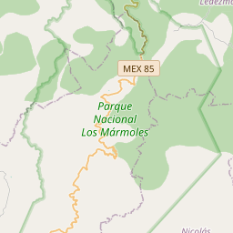
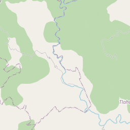
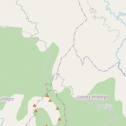
20.9847, -98.9677© OpenStreetMap
Places under this code
9| Place | Region | County | Coordinates |
|---|---|---|---|
| Dominí | Hidalgo | Tlahuiltepa | 20.9847, -98.9677 |
| El Embocadero | Hidalgo | Tlahuiltepa | 20.9571, -98.9426 |
| Guadalupe | Hidalgo | Tlahuiltepa | 20.9885, -98.9562 |
| La Mesa | Hidalgo | Tlahuiltepa | 20.9321, -98.9793 |
| La Soledad | Hidalgo | Tlahuiltepa | 20.9532, -98.9798 |
| Las Manzanitas | Hidalgo | Tlahuiltepa | 20.9283, -98.9825 |
| Los Frijolares | Hidalgo | Tlahuiltepa | 20.9725, -98.9581 |
| Profesor Raciel Salcedo Rangel (El Duraznito) | Hidalgo | Tlahuiltepa | 20.9884, -98.9398 |
| San Francisco | Hidalgo | Tlahuiltepa | 20.9564, -98.9532 |
Same code in other countries
3FAQ
Which city is 43176 in?
Dominí, Hidalgo, Mexico.
What are the coordinates of 43176?
20.9847, -98.9677
Is 43176 used in other countries?
Yes, 3 other countries.