
Mexiko
61746 Postleitzahl
PLZ-Details
3 OrtePLZ
Ort
El Atuto (Tanques Atuto)
Region
Michoacán de Ocampo
Kreis
Gabriel Zamora
Koordinaten
19.2169, -102.0447
Genauigkeit
4 / 6
Land
Mexiko
Lage
OpenStreetMap ↗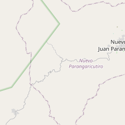
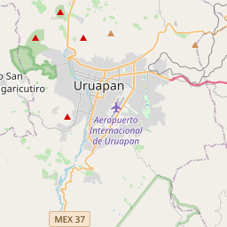
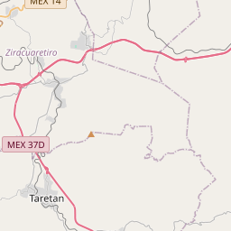
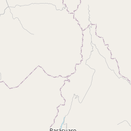
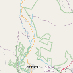
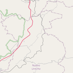
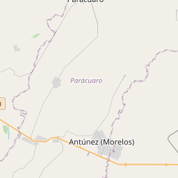


19.2169, -102.0447© OpenStreetMap
Orte unter dieser PLZ
3| Ort | Region | Kreis | Koordinaten |
|---|---|---|---|
| El Atuto (Tanques Atuto) | Michoacán de Ocampo | Gabriel Zamora | 19.2169, -102.0447 |
| El Pollito | Michoacán de Ocampo | Gabriel Zamora | 19.2022, -102.0522 |
| La Gallina | Michoacán de Ocampo | Gabriel Zamora | 19.2061, -102.0494 |
Gleiche PLZ in anderen Ländern
2| Land | Ort | Region |
|---|---|---|
| KR Südkorea | 남구 | 광주광역시 |
| PL Polen | Poznań | Greater Poland |
FAQ
In welcher Stadt liegt 61746?
El Atuto (Tanques Atuto), Michoacán de Ocampo, Mexiko.
Welche Koordinaten hat 61746?
19.2169, -102.0447
Wird 61746 auch in anderen Ländern verwendet?
Ja, in 2 weiteren Ländern.