
Mexiko
59920 Postleitzahl
PLZ-Details
15 OrtePLZ
Ort
Adolfo López Mateos
Region
Michoacán de Ocampo
Kreis
Tangamandapio
Koordinaten
19.8902, -102.4536
Genauigkeit
3 / 6
Land
Mexiko
Lage
OpenStreetMap ↗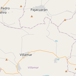
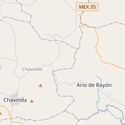
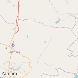
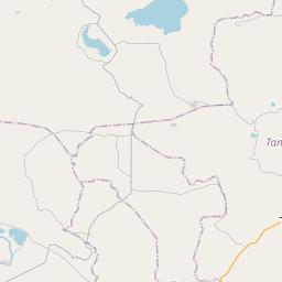
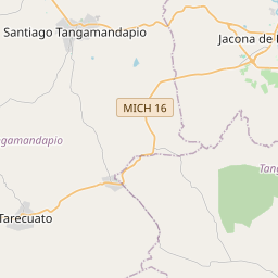
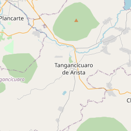
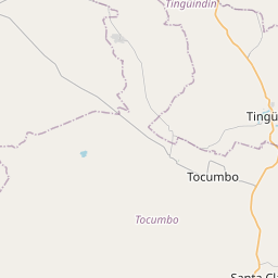
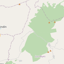
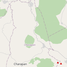
19.8902, -102.4536© OpenStreetMap
Orte unter dieser PLZ
15| Ort | Region | Kreis | Koordinaten |
|---|---|---|---|
| Adolfo López Mateos | Michoacán de Ocampo | Tangamandapio | 19.8902, -102.4536 |
| De Abajo | Michoacán de Ocampo | Tangamandapio | 19.9618, -102.4344 |
| De Arriba | Michoacán de Ocampo | Tangamandapio | 19.9618, -102.4344 |
| De San Juan | Michoacán de Ocampo | Tangamandapio | 19.9618, -102.4344 |
| Del Progreso | Michoacán de Ocampo | Tangamandapio | 19.8902, -102.4536 |
| El Cerrito | Michoacán de Ocampo | Tangamandapio | 19.9667, -102.4411 |
| El Progreso | Michoacán de Ocampo | Tangamandapio | 19.8902, -102.4536 |
| Jardines | Michoacán de Ocampo | Tangamandapio | 19.9667, -102.4411 |
| Lindavista | Michoacán de Ocampo | Tangamandapio | 19.8902, -102.4536 |
| Los Trigos | Michoacán de Ocampo | Tangamandapio | 19.8902, -102.4536 |
| Magisterial | Michoacán de Ocampo | Tangamandapio | 19.8902, -102.4536 |
| Nuevo Progreso | Michoacán de Ocampo | Tangamandapio | 19.8902, -102.4536 |
| Rancho del Senador | Michoacán de Ocampo | Tangamandapio | 19.9618, -102.4344 |
| San Rafael | Michoacán de Ocampo | Tangamandapio | 19.9581, -102.4197 |
| Santiago Tangamandapio | Michoacán de Ocampo | Tangamandapio | 19.9557, -102.4355 |
Gleiche PLZ in anderen Ländern
4FAQ
In welcher Stadt liegt 59920?
Adolfo López Mateos, Michoacán de Ocampo, Mexiko.
Welche Koordinaten hat 59920?
19.8902, -102.4536
Wird 59920 auch in anderen Ländern verwendet?
Ja, in 4 weiteren Ländern.