
Mexiko
52067 Postleitzahl
PLZ-Details
4 OrtePLZ
Ort
El Espino Xonacatlán
Region
México
Kreis
Xonacatlán
Koordinaten
19.3917, -99.5364
Genauigkeit
3 / 6
Land
Mexiko
Lage
OpenStreetMap ↗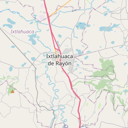
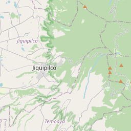
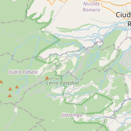

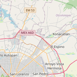
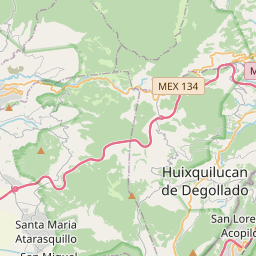
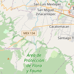

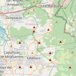
19.3917, -99.5364© OpenStreetMap
Orte unter dieser PLZ
4| Ort | Region | Kreis | Koordinaten |
|---|---|---|---|
| El Espino Xonacatlán | México | Xonacatlán | 19.3917, -99.5364 |
| Francisco I. Madero | México | Xonacatlán | 19.437, -99.4676 |
| La Jardona | México | Xonacatlán | 19.437, -99.4676 |
| La Manga | México | Xonacatlán | 19.437, -99.4676 |
Gleiche PLZ in anderen Ländern
2FAQ
In welcher Stadt liegt 52067?
El Espino Xonacatlán, México, Mexiko.
Welche Koordinaten hat 52067?
19.3917, -99.5364
Wird 52067 auch in anderen Ländern verwendet?
Ja, in 2 weiteren Ländern.