
Mexiko
36227 Postleitzahl
PLZ-Details
10 OrtePLZ
Ort
El Castillo
Region
Guanajuato
Kreis
Guanajuato
Koordinaten
20.8728, -101.245
Genauigkeit
4 / 6
Land
Mexiko
Lage
OpenStreetMap ↗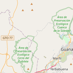
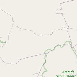
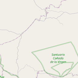
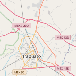

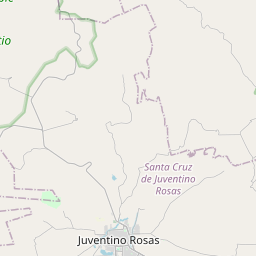
20.8728, -101.245© OpenStreetMap
Orte unter dieser PLZ
10| Ort | Region | Kreis | Koordinaten |
|---|---|---|---|
| El Castillo | Guanajuato | Guanajuato | 20.8728, -101.245 |
| El Coyote | Guanajuato | Guanajuato | 20.8592, -101.2454 |
| El Tejabán | Guanajuato | Guanajuato | 20.8905, -101.2304 |
| Galeras | Guanajuato | Guanajuato | 20.875, -101.2547 |
| La Media Luna | Guanajuato | Guanajuato | 20.8811, -101.21 |
| Presa de Montelongo | Guanajuato | Guanajuato | 20.8933, -101.1803 |
| San José del Chapín | Guanajuato | Guanajuato | 20.8714, -101.2369 |
| San Nicolás (San Nicolás del Chapín) | Guanajuato | Guanajuato | 20.8756, -101.2225 |
| San Pablo | Guanajuato | Guanajuato | 20.8408, -101.2478 |
| San Pedro | Guanajuato | Guanajuato | 20.8733, -101.2303 |
Gleiche PLZ in anderen Ländern
1| Land | Ort | Region |
|---|---|---|
| KR Südkorea | 봉성면 | 경상북도 |
FAQ
In welcher Stadt liegt 36227?
El Castillo, Guanajuato, Mexiko.
Welche Koordinaten hat 36227?
20.8728, -101.245
Wird 36227 auch in anderen Ländern verwendet?
Ja, in 1 weiteren Ländern.