
Czechia
747 66 post code
Post code details
1 placeCode
Place
Dolní Lhota
Region
Moravskoslezský kraj
County
Opava
Coordinates
49.8929, 17.8873
Accuracy
4 / 6
Country
Czechia
Location
OpenStreetMap ↗


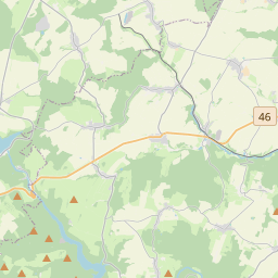
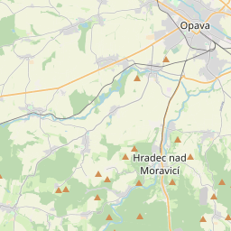
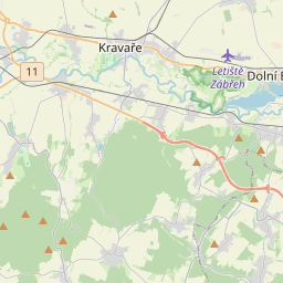
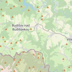
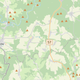
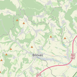
49.8929, 17.8873© OpenStreetMap
Places under this code
1| Place | Region | County | Coordinates |
|---|---|---|---|
| Dolní Lhota | Moravskoslezský kraj | Opava | 49.8929, 17.8873 |
Same code in other countries
1| Country | Place | Region |
|---|---|---|
| US United States | Wright City | Oklahoma |
FAQ
Which city is 747 66 in?
Dolní Lhota, Moravskoslezský kraj, Czechia.
What are the coordinates of 747 66?
49.8929, 17.8873
Is 747 66 used in other countries?
Yes, 1 other countries.